Topographical Surveys
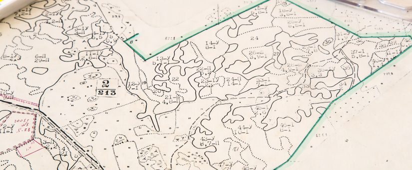
What is a Topographical Survey? A Topographic Survey is a survey that gathers data about the elevation of points on a piece of land and presents them as contour lines on a plot. The purpose of a topographic survey is to collect survey data about the natural and man-made features of the land, as well as its elevations.
Here at CDS Surveying we believe that an accurate and up to date Topographical survey is a vital link in the Project design process.
We can provide topographical surveys for a wide variety of clients both locally and nation wide. At present we can usually start and finish complete a survey within 5 days of survey of commission. Our Topographical surveys are carried out to RICS standard and also tailored to meet each individual client’s specific needs.
- Posted by studio55
- On July 18, 2019
- 1 Comment